Hiking
In Skagafjörður you will find variety of beautiful hiking trails, whether you are looking for a light outdoor activity or more challenging hike. Whatever hike experience you are looking for, you will find it in Skagafjörður.
- All seasons
- Fall
- Spring
- Summer
- Winter
- All difficulties
- Difficult
- Easy
- Easy
- Moderate
- Moderate
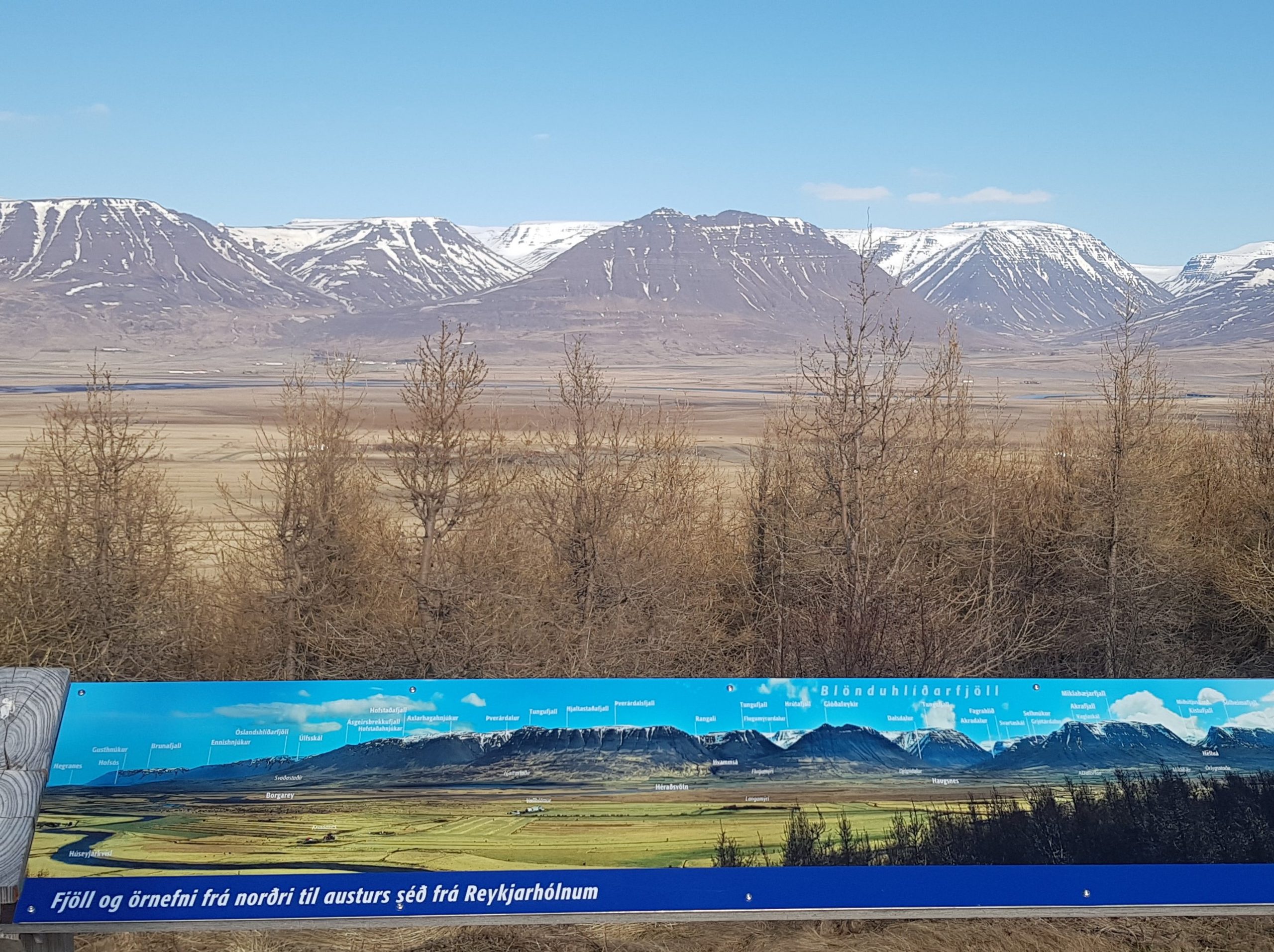
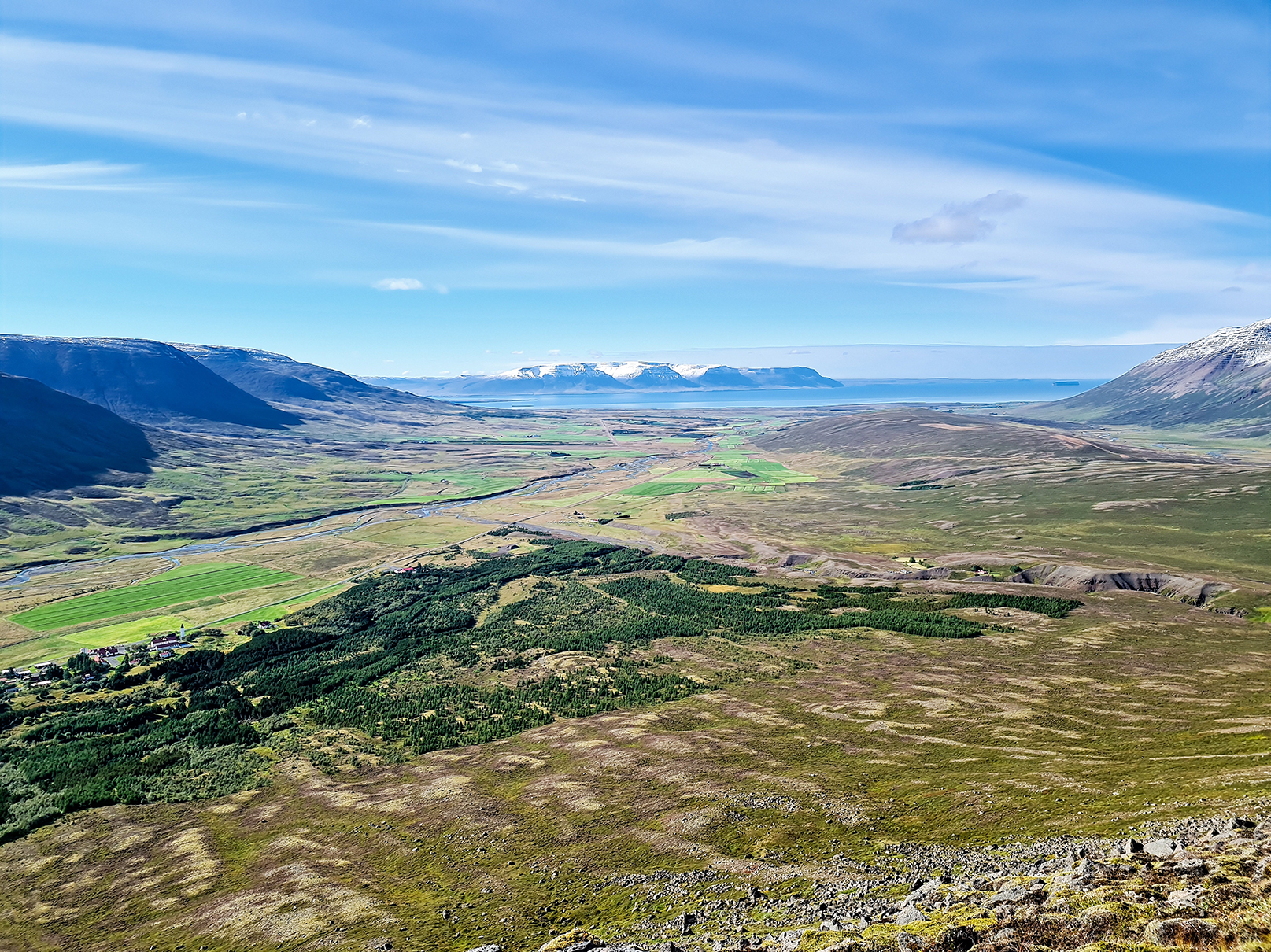
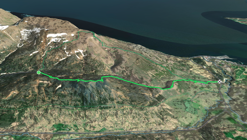
The track to Glóðafeykir begins at the Flugumyri Church. From there, continue through the farm towards the mountain. Be mindful of closing the gates after passing though. There might be sheep and horses in the meadow. When you crossed the fence over the A-frame, continue through the meadow upwards towards the mountain. You can hike up on the north side of the mountain and follow the path up until the summit where you will enjoy the breathtaking view over Skagafjördur.
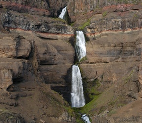
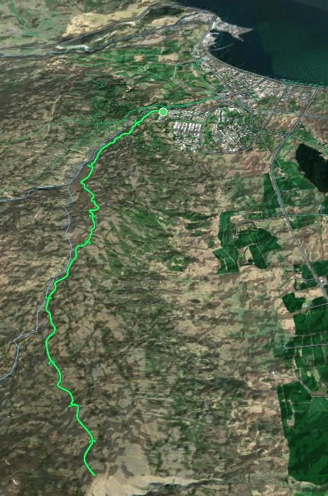
Bólugil canyon, is very beautiful gorge where the river falls about 140m forward and forms 7 small waterfalls in a row. In the canyon you can see an interesting geological story. It is also said that the Troll Bóla used to live in the impressive gorge. The path to Bólugil begins at the end of the dirt road on the bottom of the canyon. Continue up along the canyon. The path ends at a lookout point for the waterfall with views over the gorge and valley. Follow the same path down.
The starting point is from the Ski Lodge in Tindastóll Mountain. The trail starts with a short steep chapter but is well worth a nice hike and amazing view over Skagafjörður and Sauðárkrókur. At the top you’ll find a cairn and a box close to it with a guestbook. You take the same path to starting point.
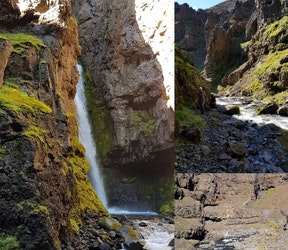
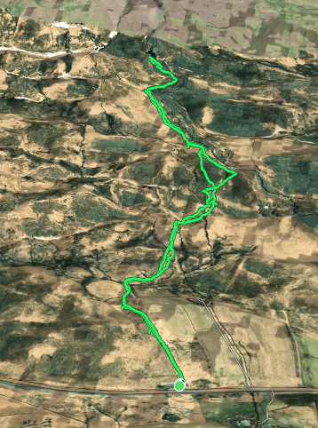
Kotagil is a beautiful canyon with a stunning gorge and waterfall waiting at the end of the track. You can start the track from the parking spot just off ring road 1. The track follows the east of the river on the way to the gorge, with an option to cross over to the west side to avoid rocks. Kotagil is a very rocky path with river crossings, please bring according gear.
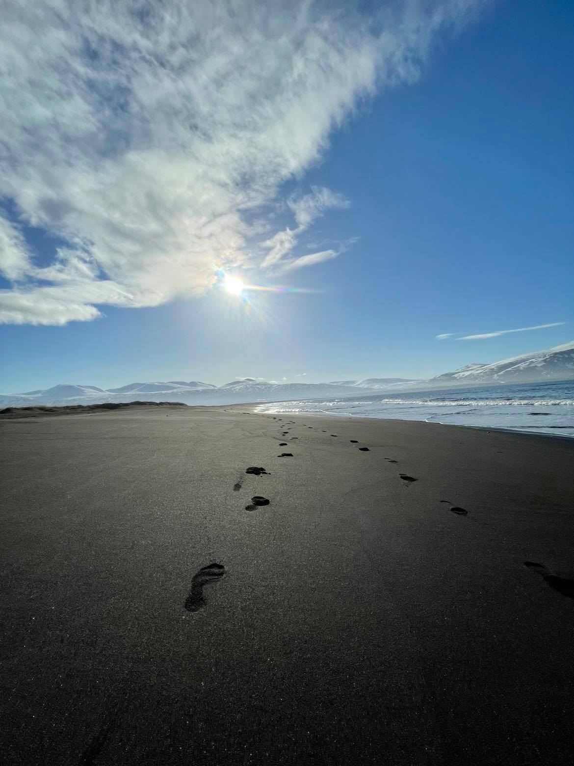
Very nice walk along Borgarsandur, the beautiful long black beach by the town Sauðárkrókur. Good accessibility all year round. You can park the car at the west end of the beach. At the beach you will find a shipwreck of the ship Erna. Erna was around 1970 dragged from Sauðárkrókur’s docks to Borgarsandur to be set on fire and destroyed. But the ship did not burn and is now as a ghostly skeleton on the beach. Ernan has become a landmark on the beach. Enjoy the stunning view over Skagafjörður all year around.
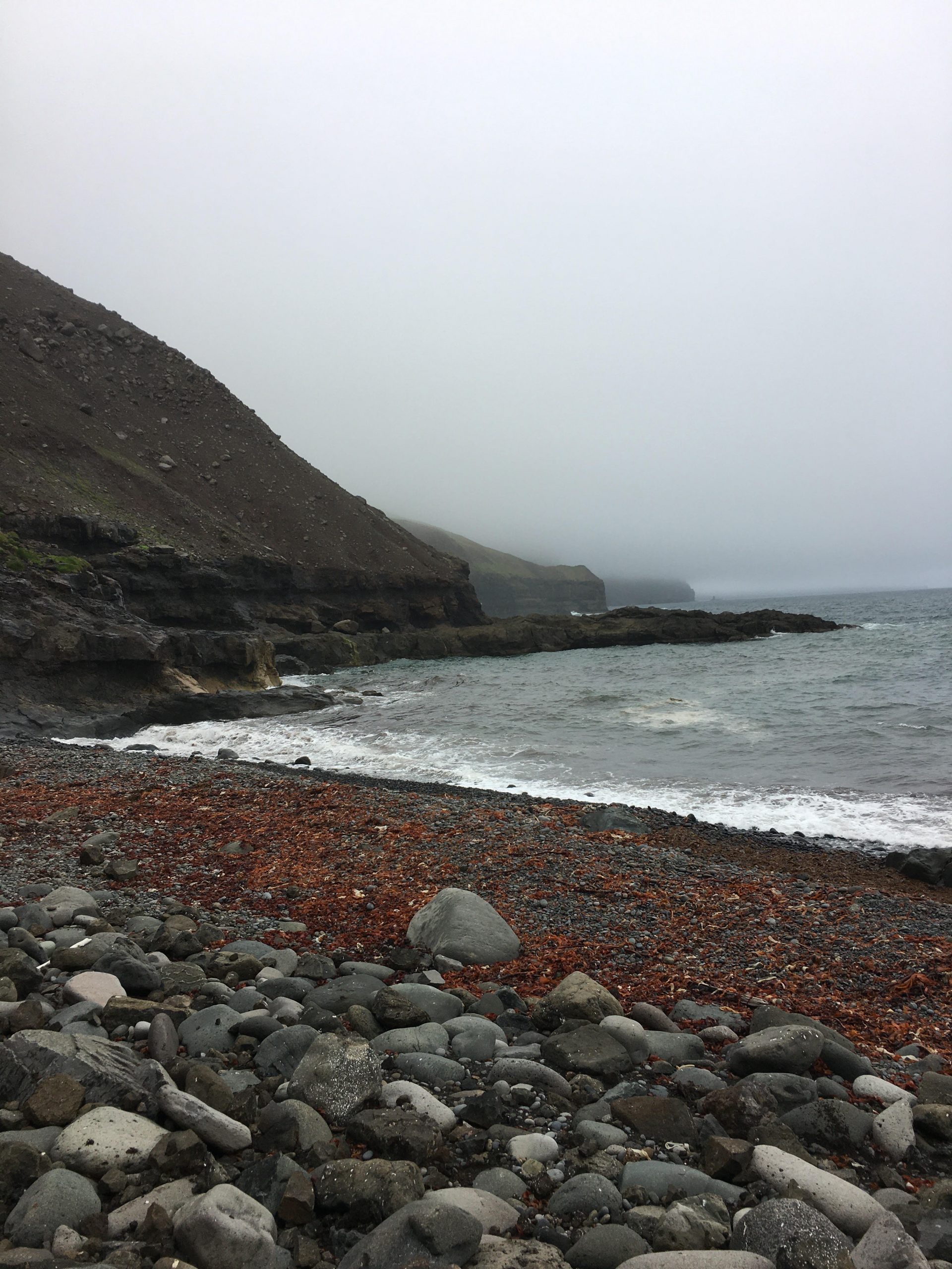
Glerhallavík (Chalcedony Cove) is a small cove on the western coast of Skagafjörður in northern Iceland that gets its name from the pebbles of milky and green-flecked chalcedony that litter the beach. It is a protected nature area and picking chalcedony is forbidden. The trail starts near the Guesthouse Reykir on Reykjaströnd, which can be reached by car. Walk past the farm remnants down to Sandvík and Glerhallavík coves. There are patches of coarse beach gravel along the way, so make sure to bring suitable footwear.
From the top of Mælifellshnjúkur peek you have an incredible view over Skagafjörður and the surrounding regions. The mountain is 1138 meters high and towers over all the surrounding mountains. Relatively easy hike. Highest point 1138 meters above sea level.
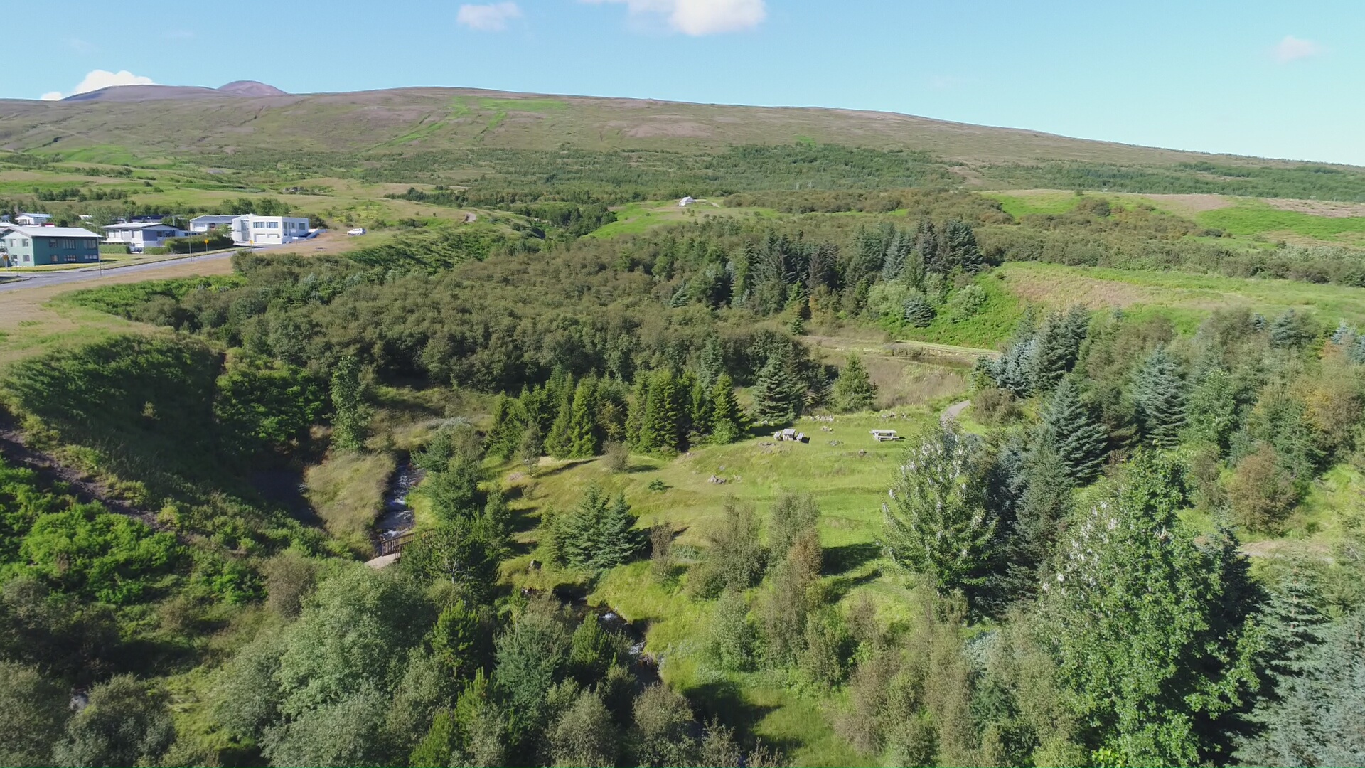
Litli Skógur and Skógarhlíð are outdoor recreation areas in and around Sauðárgil in Sauðárkrókur. There is a lot of vegetation and shelter and many paths that are fun to explore. The trails run along the river in the gorge and then connect to Skógarhlíð. Really beautiful area for the whole family with a great view of Skagafjörður and the town. It is ideal to bring a packed lunch and enjoy the outdoors.
Midway up The Hólabyrða Mountain is the ledge called Gvendarskál. Short, but steep walk on a stony path, along a marked trail to the Bishop’s altar (Guðmundur the Good). There you will have a beautiful view over Hjaltadalur Valley and the Skagafjörður bay beyond. At the altar you will find a box with a guestbook where you can leave your name.
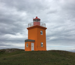
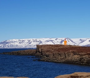
An easy stroll to the Hegranesviti Lighthouse. The path is easily accessible, child-friendly and includes a beautiful view and a lot of wildlife during summertime.
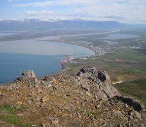
At the starting point you find a Information sign for the trail, the text is only in Icelandic. The trail is easily visible and marked with white sticks. On the way you have a great view over the town Sauðárkrókur, the bay and the higher you climb over the valleys of Skagafjörður and the surrounding mountains. After the steady climb up the mountain, the last elevation is the steepest up to the peek of Einhyrningur. When reaching the peek of Einhyrningur you are rewarded with an amazing view over Skagafjörður in all directions. At the top you will find a guestbook, where you can leave your names and date of your hike.
The trail from Örlygsstaðir leads from the parking lot to the memorial sign for the battle of Örlygsstaðir. The Battle of Örlygsstaðir was a historic battle fought by the Sturlungar against the Ásbirningar and the Haukdælir clans in northern Iceland. The battle was part of the civil war that was taking place in Iceland at the time between various powerful clans during the time known as the Age of the Sturlungs.
The path continues along the fence, following the sheep gate up until the river, crossing the river and going further up the hill. Once it finds the second river, it follows along it‘s side up until the waterfall. The track ends at a viewpoint for the waterfall and returns the same way. Be aware of sheep or horses running freely in the area.
A great hiking trail with a really nice view of the town and out the fjord. Walk up Kirkjustígur (Church Path) and south of the corner of the cemetery, where you enter a path that leads you south of the hubs. Ideal for the whole family .
A convenient and simple track through a forest above Varmahlíð. It is a well maintained, easy path with a slight incline leading to a lookout point on top of the hill overlooking Skagafjördur. On the path you will find benches to sit down to enjoy the nature or your refreshments. The path ends at the starting point.
The walk starts at the north end of Háuhlíð road in Sauðárkrókur, leads you to Gilsbunga mountain and then back. Follow the dirt road to the water tanks at the foot of Gilsbunga mountain. The trail includes one way point where you cross a white gate. The installation “Útsjón” by Ægir Ásbjörnsson is located on a rock above the farm Brennigerði, about half way to Gilsbunga. The highest point is near Gilsbunga, 500 m above sea level. You can extend the walk by climbing Staðaröxl mountain, 836 m high and/or Gilsbunga, rising 842 m above sea level. The amazing view is well worth the effort.
The route starts by the statue of the Ferryman, Jón Ósmann. You follow the footpath to the old bridge along to Naustavík Seashore. The path leads you to Hegranesviti Lighthouse. The walk includes a beautiful view and a lot of bird life. Estimated walking time is about 1,5 hours and the loop is 5,9 km long.
The trail includes beautiful view over Skagafjörður and Sauðárkrókur. A fun track with a lot of nature, flora, rocks and more. Starting point is at the ski lodge in Tindastóll and ends at the gravel mine by Hraksíðuá river. One way walk. Highest point 594 meters above sea level.
The starting point is from the parking lot at the Hotel Mikligarður in Sauðárkrókur. A path leads along Sauðá river and through a small forest, you then follow an old road to the top of Molduxi Mountain. The top is steep and the subsoil is loose. On the way back you head to Molduxaskarð pass, over a fence ladder and follow the path down Skógarhlíð hill.
Hróarsgötur is an old path on Heiðarhnjúkur Mountain, leading along the clearly visible division line of two rock layers that are approx. 1.8 million years old. A fun hike that includes a beautiful view over the farms and fjords in the area.
Birdlife at Áshildarholtsvatn Lake is worthy of special attention from visitors from May till September. The landowners around the lake have shown extensive insight an joined together to protect the local birdlife. A sign was put up to demonstrate the importance of this area and to display a few drawings of its most-common bird species. Visitors are kindly asked to stay on the walking trail to the Sjávarborg farm and not disturb the birds near the lake. Distance 5 km.
